


Weekly insights about property in France!
Subscribe and don't miss an issue!
The Paris We Might Not Have Known
Volume X, Issue 13

|
|
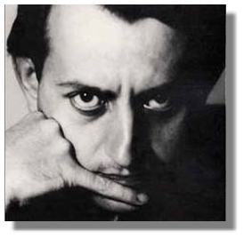
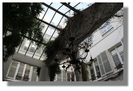
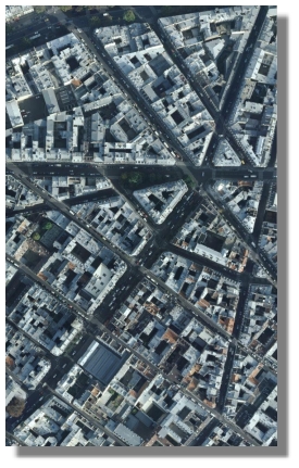
If it weren’t for André Malraux, “Le Marais” wouldn’t even exist, much less be one of Paris’ chicest districts. In 1958, a 500 square-meter apartment overlooking the Place des Vosges was purchased for 50,000 French francs when the square was a slum and dangerous to be in at night. Four years later, Minister of Culture André Malraux set up the “Commission des Secteurs Sauvegardes.” That year (1962), 4.1974 French francs equaled one U.S. Dollar meaning that $11,912 purchased 5,382 square feet, or at a rate of $2.21 per square foot. That same property today is valued at about 20,000€ per square meter, or 10 million euros — more than $13 million — 1,091 times its original value over a period of 53 years — and more than 14% increase in value annually!
Of course, how many Parisians live in 500 square-meters? Very few! A search in Seloger.com resulted in 17 for sale from 1,600,000€ to 9,900,900€, one of which is located in the 3rd arrondissement selling for 5,460,000€.
Thanks to André Malraux’s August 4th, 1962 act, “Law No. 62-903,” legislation was enacted to protect the historical and aesthetics of France and to facilitate property restoration. If it weren’t for that, Le Marais and many other city centers would have been razed to make way for newer buildings. As time went on, the properties have been restored and upgraded, making the district one of Paris’ most desirable and now, most expensive.
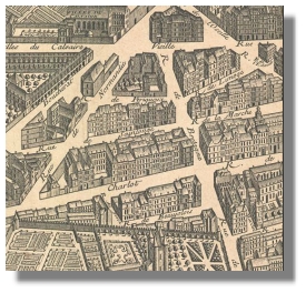
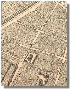
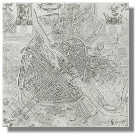
I once saw my own building drawn on a map from the 17th-century long before a building was added on where a garden once stood. It gave me a great sense of pride to know that I was one of the hundreds of lives touched by this very house, but of course, have no idea who they might have been — the records I have simply don’t go back that far.
The most famous of Paris maps is, of course, that of Michel-Etienne Turgot. The map was created by Louis Bretez from 1734 to 1739 but Turgot was the Mayor of Paris at that time (from 1729 to 1740). In 1966, a book of the maps, divided into 20 loose maps, was published and sold to the public. To acquire a copy now, one must seek it out in the auction houses, but reproductions are found in many places. A good representation of it is found a: “Antique Map of Paris by Turgot.” I wonder what the price of property in Paris was at that time?
Eugène Atget photographed “vieux Paris” in 1898 what he called “architecture and urban views,” carrying a large-format view camera through the streets and gardens of Paris, much of which were demolished to make way for rapid urbanization. Thanks to the 1962 laws protecting the historic centers, Le Marais was largely untouched. In one example, he photographed the school in which my daughter attended “college” (Junior High) on rue Béranger which today looks very much the same…if it were not for the addition of trees, car and bicycle lanes, plus the obvious difference of restoration of the buildings.
Every day that I walk the streets of the city I try to see in my mind’s eye what lies behind the newly restored and altered facades to the lives it touched before we contemporary citizens descended on it. Perhaps it’s partly this that is a never-ending source of fascination living in Paris that compares to little else in the world. And if M. Malraux were alive today, I’d be thanking him for giving us the Paris we might not have known.
A bientôt,
 Adrian Leeds
Editor, French Property Insider
Email: [email protected]

 P.S. Catch me LIVE in a radio interview with Doni Belau of Girls Guide to Paris on Overseas Radio! Simply go to Overseas Radio on Monday, April 2nd at 10:00 a.m. (EST, 4 p.m. in Paris) and click on the “Listen Live” button on the upper right.

Let Us create a custom strategy for you
You can live or invest in France-now.
Property for sale
what's happening
Check out upcoming events, conferences, or webinars. Join us!
GET FINANCING
Learn about French Property Loan Information.

Read & Subscribe
Dive into more by reading the Adrian Leeds Nouvellettre®
Better yet, subscribe to both and get the updates delivered to your inbox.

Get started with your dream of owning property in Paris.
Join us on Youtube
Dive into more on how to live, invest & escape to France
Be sure to subscribe!
To read more, click the links below.